

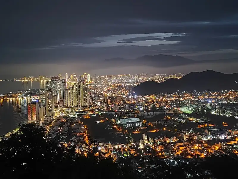
 At 04:35
Suggestions only. Places may change hours, start charging, close or become unsafe before this site is updated: please check before you go. Getting around: book Green SM or Grab in the app.
Where to go tomorrow morning?
The sun has set, so these are ideas for tomorrow morning.
Explore the spots
20 spotsTap ♡ on the places you want to visit and the site will plan your days around the best light, tide and rain. Tap a photo for details.

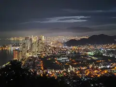



🔥 Trending · City center
Railway café
Time your visit to a passing train; the café is covere…


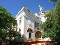

🌸 Seasonal · South
Bougainvillea lane and murals
Flower season March-June (best in early June), afterno…


🏛 Classic · City center
Po Nagar Cham towers
Early morning, with sun on the towers and few tour gro…
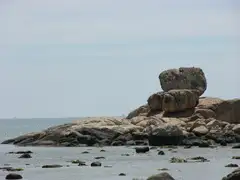
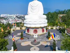



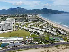
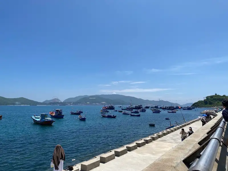 🔥 Trending📷 8
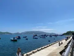
Lang Chut fishing-village seawall
South · ⚠️ 2 warnings
🌊 high tide 22:45
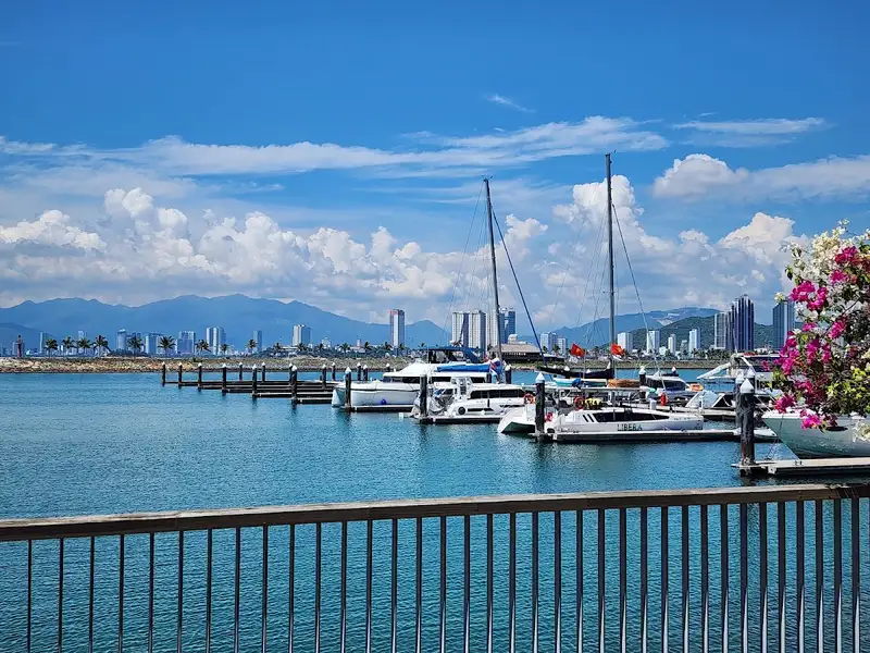 🔥 Trending📷 8
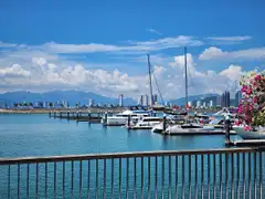
Ana Marina yacht harbour
North
🌇 arrive before 16:40
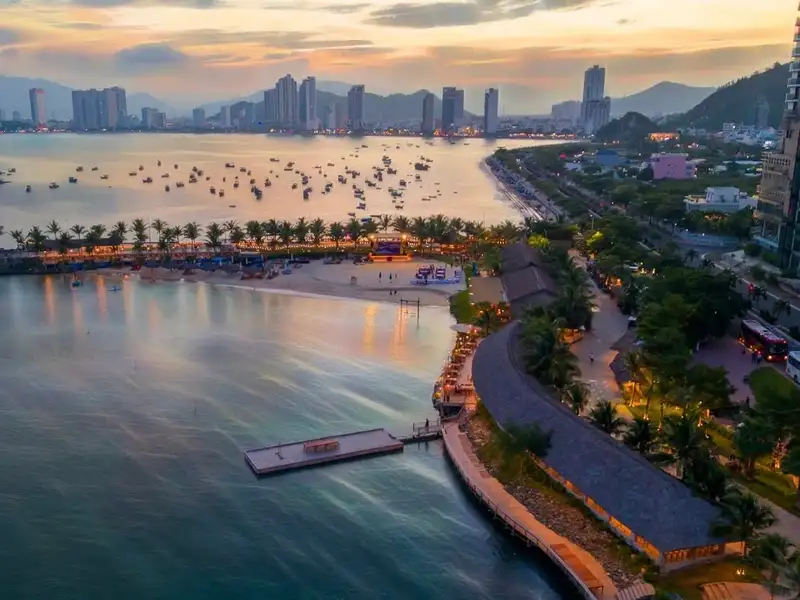 🔥 Trending📷 10
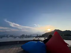
Marina Beach Club
North · ⚠️ 1 warning
🌇 arrive before 16:40
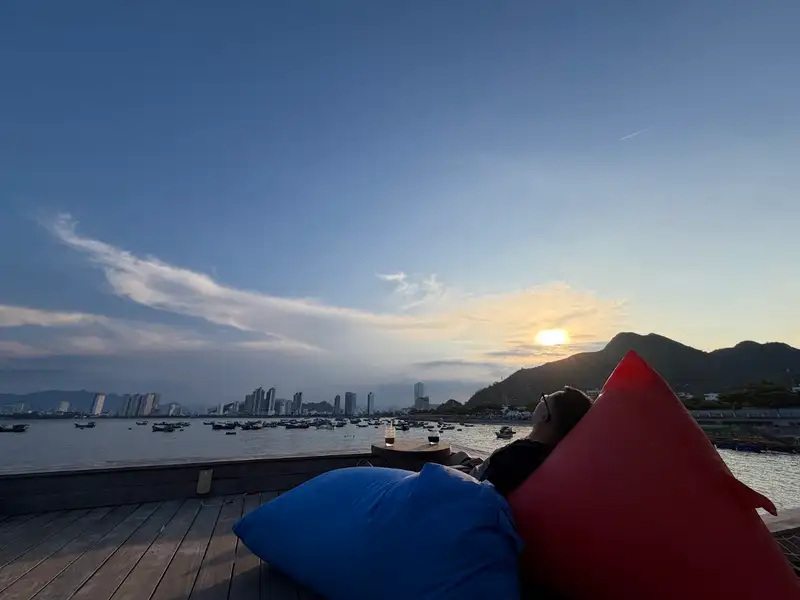 🔥 Trending📷 9
View Tỷ Đô Coffee
North
Quiet 8:00-10:00; lights come on in the evening.
🔥 Trending📷 9Co Tien mountain peak
North · ⚠️ 2 warnings
☀️ start climbing 04:35
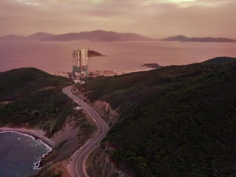 🔥 Trending📷 8
Luong Son pass
North · ⚠️ 1 warning
☀️ be there by 05:15
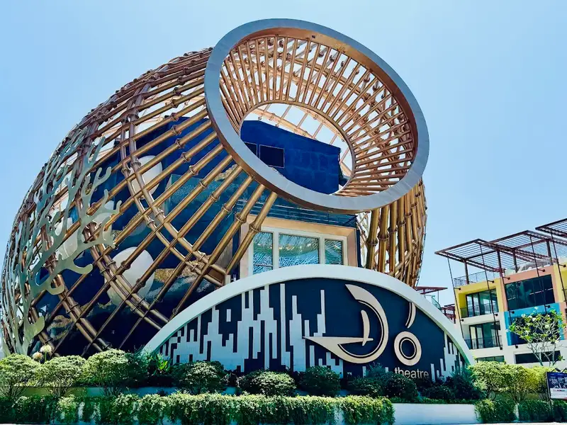 🔥 Trending📷 8
Do Theatre
North
☀️ be there by 05:15
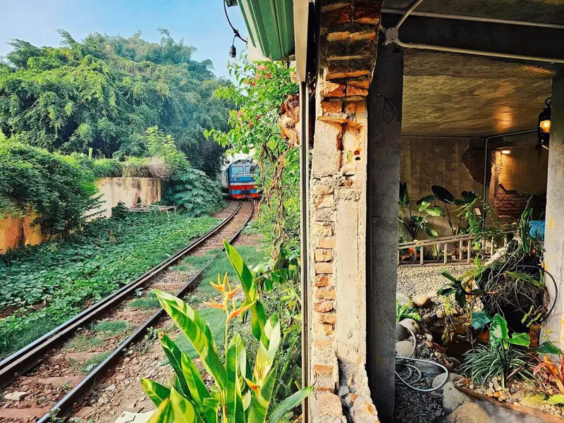 🔥 Trending📷 12
Railway café
City center · ⚠️ 1 warning
Time your visit to a passing train; the café i…
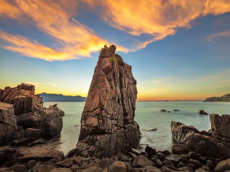 🔥 Trending📷 10
Hang Heo rock
North · ⚠️ 2 warnings
☀️ be there by 05:15
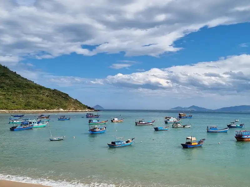 🔥 Trending📷 8
Ninh Van fishing village
Further out · ⚠️ 1 warning
Morning.
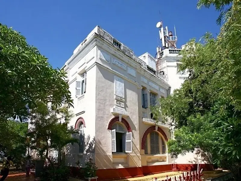 🔥 Trending📷 8
Bao Dai's villas
South · ⚠️ 2 warnings
Weekday mornings or early afternoon; the best …
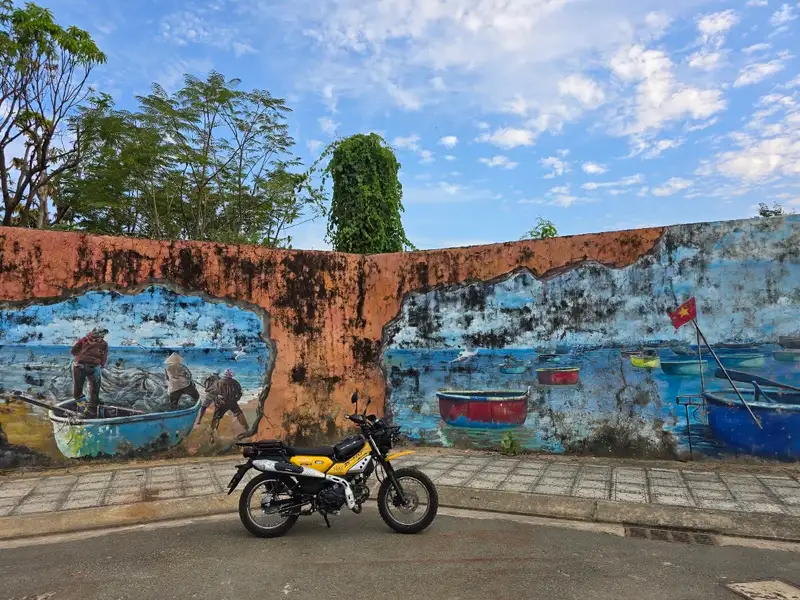 🌸 Seasonal📷 10
Bougainvillea lane and murals
South · ⚠️ 2 warnings
Flower season March-June (best in early June),…
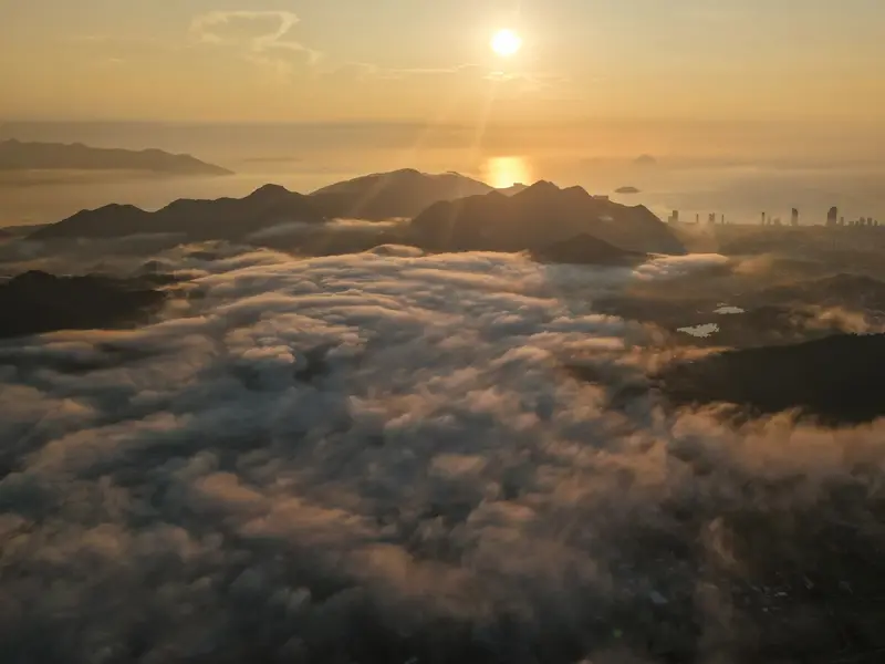 🌸 Seasonal📷 4
Phong Van peak, Hon En cloud viewpoint
North · ⚠️ 2 warnings
☀️ set off 04:35
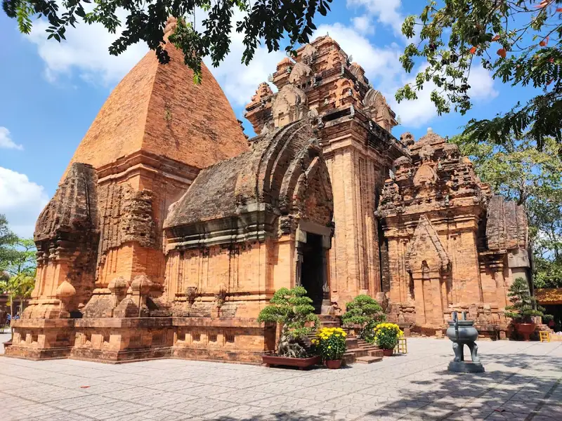 🏛 Classic📷 9
Po Nagar Cham towers
City center
Early morning, with sun on the towers and few …
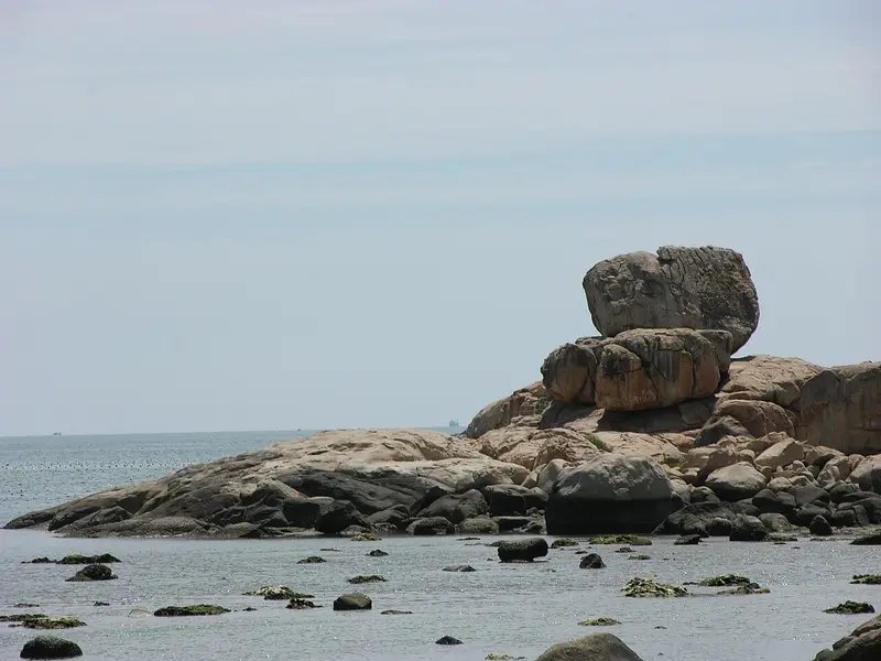 🏛 Classic📷 14
Hon Chong rocks
North · ⚠️ 1 warning
☀️ be there by 05:15
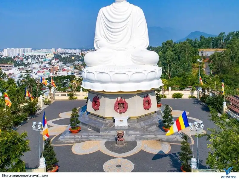 🏛 Classic📷 8
Long Son pagoda
City center · ⚠️ 1 warning
Early morning: cool and quiet.
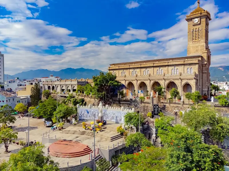 🏛 Classic📷 8
Stone Church
City center · ⚠️ 1 warning
Morning.
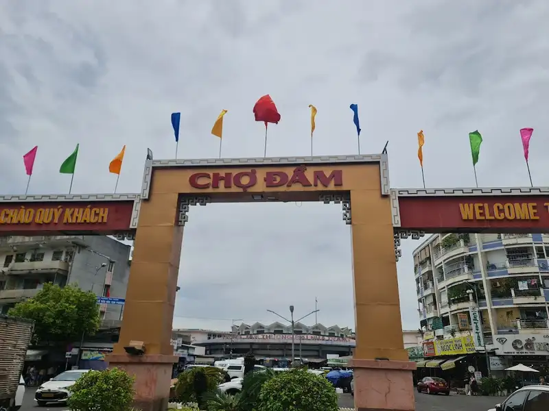 🏛 Classic📷 8
Dam market
City center · ⚠️ 1 warning
Morning 6:00-9:00.
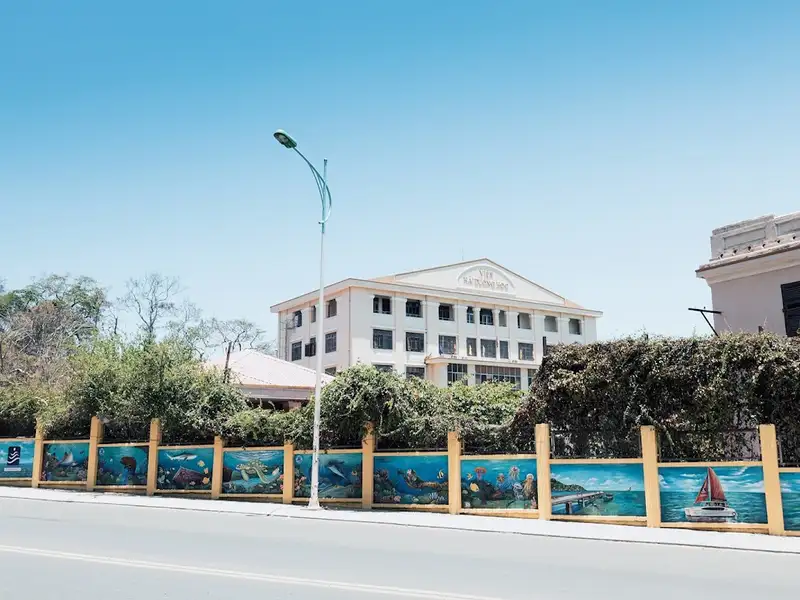 🏛 Classic📷 8
Institute of Oceanography
South
Midday or when it rains.
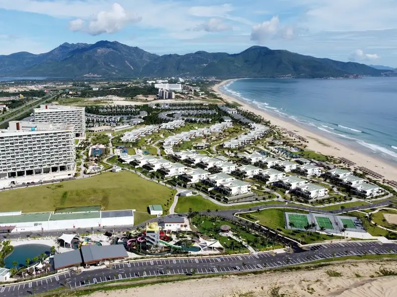 🏛 Classic📷 7
Bai Dai beach
Further out · ⚠️ 1 warning
☀️ be there by 05:15
Don't want to choose? Use a ready-made route
Times are set by tomorrow's sun and tide. Driving distances come from the OSRM road map, plus about 25% for traffic and 5 minutes for parking.
04:35 → 09:30 · 13.2 km
Sunrise in the north (early start)
- Co Tien mountain peak
- Luong Son pass5.4 km · ~20 min
- Do Theatre4.7 km · ~15 min
- View Tỷ Đô Coffee3.1 km · ~10 min
06:30 → 10:25 · 7.7 km
Morning in the city centre
- Po Nagar Cham towers
- Long Son pagoda3.3 km · ~10 min
- Stone Church1.3 km · ~10 min
- Dam market1.6 km · ~10 min
- Railway café1.5 km · ~10 min
09:00 → 11:50 · 2.2 km
The south, timed to the tide
- Lang Chut fishing-village seawall
- Bao Dai's villas1.5 km · ~10 min
- Institute of Oceanography0.7 km · ~10 min
15:40 → 18:20 · 1.1 km
Sunset at Duong De
- Ana Marina yacht harbour
- Marina Beach Club1.1 km · ~10 min
Plan your trip
Tap ♡ on the places you like (or pick them below). The site groups nearby places and sets times by sunrise, sunset, tide and the rain forecast for the exact days of your stay.
Places you want to visit (6 selected)
This is a sample plan. Tap ♡ on places you like (or choose below) to make your own.
Your suggested plan: 6 spots in 3 days
Day 1
Tuesday, 27 Oct · North
- ☔ 44%
- 💨 33 km/h
- ☀️ UV 7
- Morningrain possible 22%
- Afternoonlow rain 14%
- Eveninglow rain 14%
Weather looks fairly good
From your stay (City center) to the first spot: 8.4 km, about 25 min.
Co Tien mountain peak
04:35-07:05 · 150 min
Ana Marina yacht harbour
15:40-16:40 · 60 min · 2.3 km from the previous spot, ~15 min
Marina Beach Club
16:50-18:20 · 90 min · 1.1 km from the previous spot, ~10 min
Ends around 18:20 · 3.4 km between spots · Open this day's route in Google Maps
Day 2
Wednesday, 28 Oct · North + South + City center
- ☔ 44%
- 💨 44 km/h
- ☀️ UV 8
- Morninglow rain 14%
- Afternoonlow rain 14%
- Eveninglow rain 14%
Weather looks fairly good
From your stay (City center) to the first spot: 9.9 km, about 20 min.
Do Theatre
05:15-05:45 · 30 min
Lang Chut fishing-village seawall
07:30-08:15 · 45 min · 15.2 km from the previous spot, ~30 min
Po Nagar Cham towers
08:35-09:20 · 45 min · 7.6 km from the previous spot, ~20 min
Ends around 09:20 · 22.8 km between spots · Open this day's route in Google Maps
Day 3
Thursday, 29 Oct
- ☔ 83%
- 💨 36 km/h
- ☀️ UV 8
- Morningrain 65%
- Afternoonrain possible 22%
- Eveningrain 65%
Heavy rain: favor indoor spots
Rest day: sleep in, have a coffee, or add places above.
This day has room, add something on the way:
The plan is calculated on your device from sunrise, sunset, high tide and the rain and wind forecast on this site. Driving times come from the OSRM road map, plus about 25% for traffic. Please check opening hours and conditions before you go.